Interment
Burial Ground
Register Page
Click thumbnail to enlarge.


Click thumbnail to enlarge.
Click thumbnail to enlarge.
Click thumbnail to enlarge.

Click thumbnail to enlarge.

Click thumbnail to enlarge.

Click thumbnail to enlarge.

Click thumbnail to enlarge.

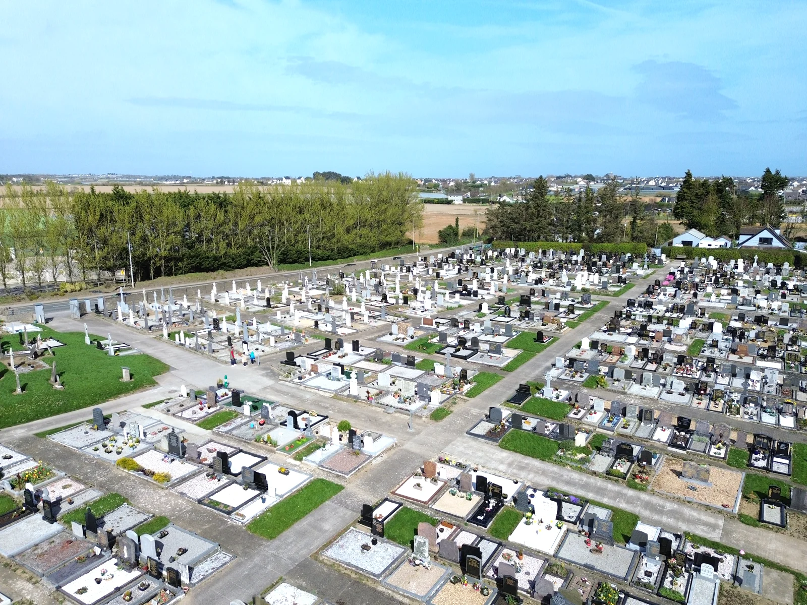
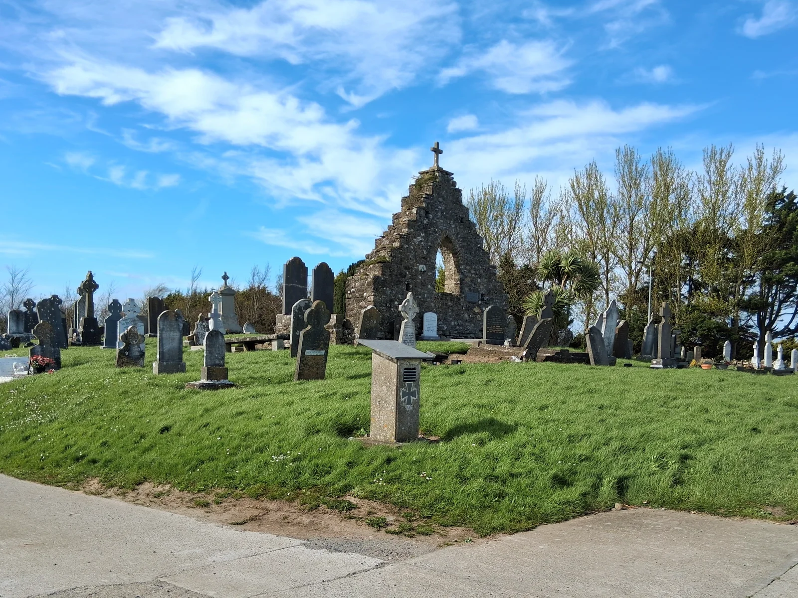
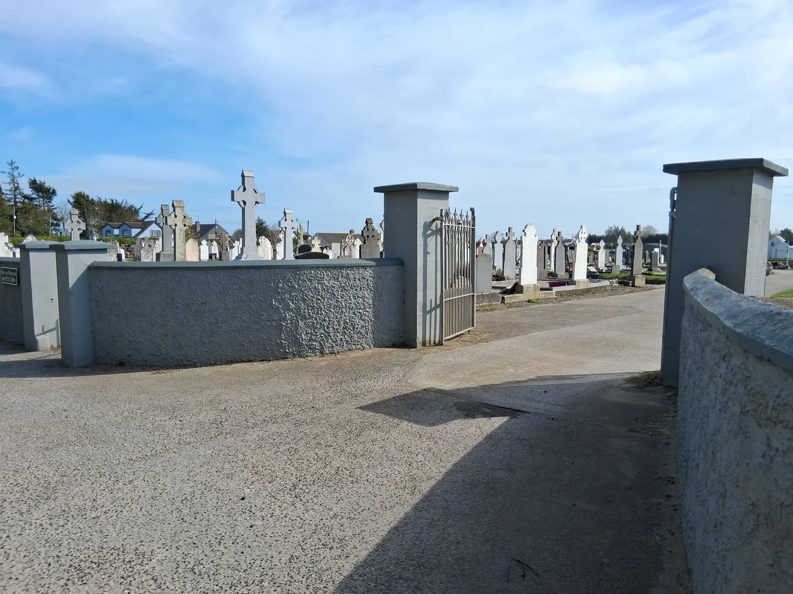
Whitestown Cemetery is located on the south side of the R128 between Lusk and Rush. While the upstanding archaeological features on the site date to the late medieval period it is associated with a nearby holy well.
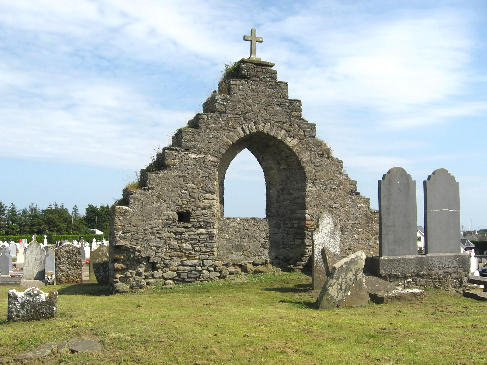
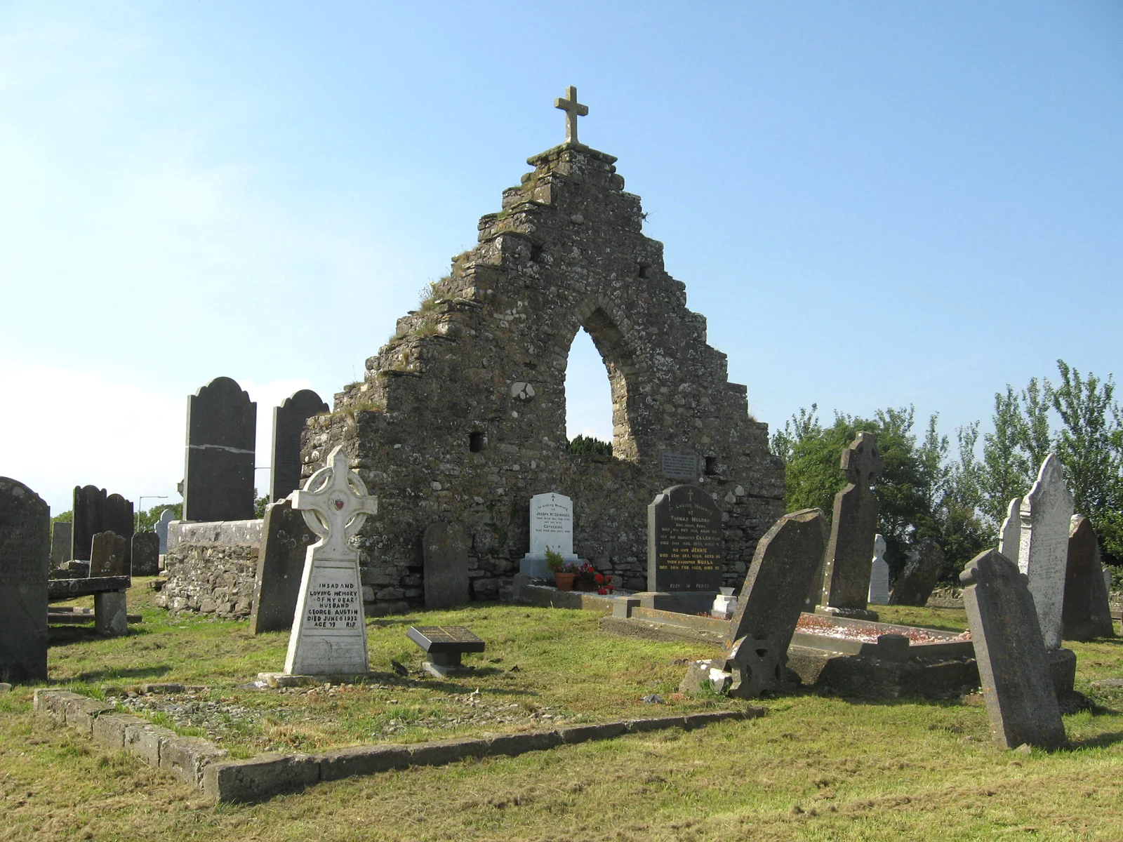
All that remains of the church of Whitestown is part of the east gable with a raised area which runs west from it. The remains of the church were described in Civil Survey (1654-56) which refers to ‘ye walls of an old chapel of ease at Whytestowne'.The church is dedicated to St. Maur who is patron Saint of Rush and whose feast day is celebrated on the 17th January. Local tradition record that a group of French sailors were about to be shipwrecked off the coast of Rogerstown. One said if they landed safely they would build a church in honour of St. Maur. The ship was driven ashore at Rogerstown near Whitestown and they built and church and dug a well. St. Maur’s well is located on Spout Road near Whitestown. It is said to cure headaches and sore eyes.
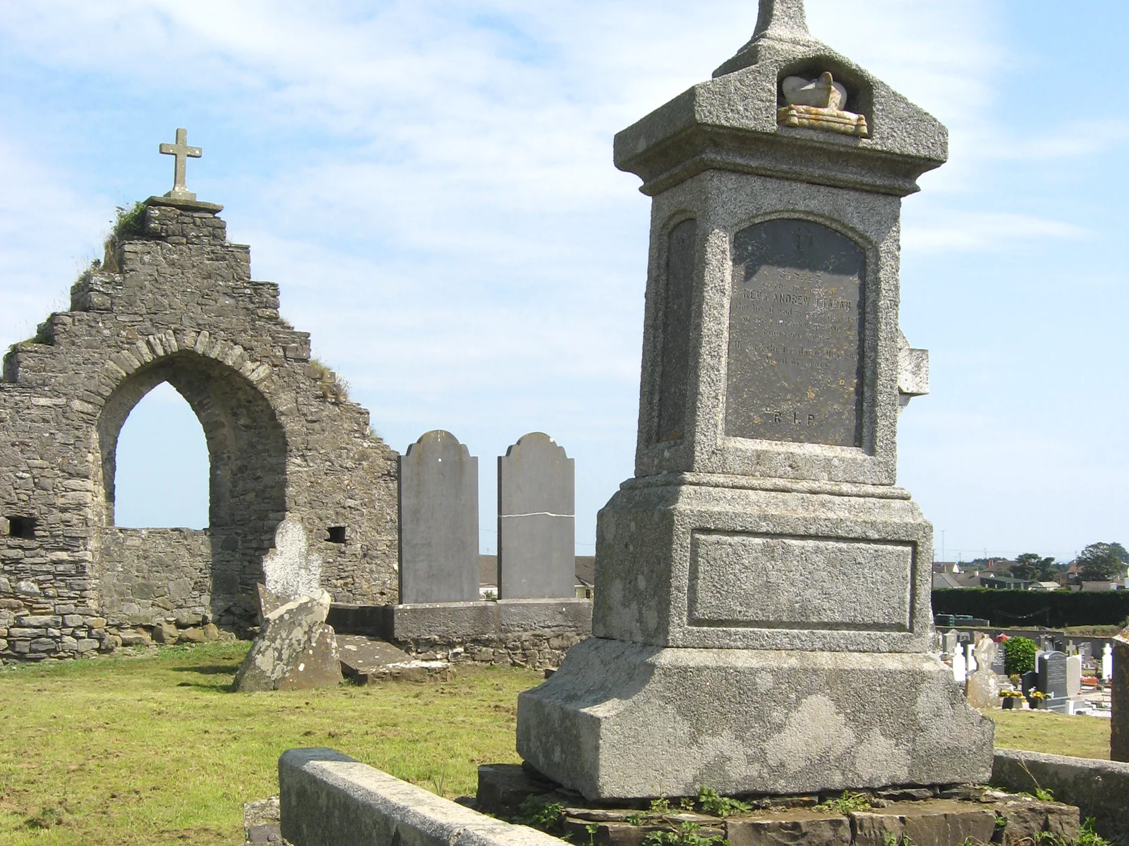
The standing remains within the graveyard consist of the stepped east gable wall of the church. The walls are constructed of rubble limestone and sandstone. There is a pointed arched window opening in the centre of the wall. A plaque on the east side of the wall reads ‘Breton mariners saved from a storm erected this chapel of St. Maur’.
Sub-rectangular graveyard bounded by concrete breeze block wall except on the northwest where the originally stone boundary wall survives. The older section of the graveyard surrounds the remains of the church which are located in an area of higher ground in the northwest of the graveyard. The rest of the graveyard consists of a modern extension.
The grave markers in the older section date to the 18th and 19th century and consist predominantly of headstones and some unmarked stones. There is a table tomb to the south of the church. There are two 18th century headstones dedicated to members of the Archbold family. There is a plaque on the wall of the church which reads ‘Breton mariners saved from a storm erected this chapel of St. Maur’. There is a simple rough hewn granite cross to the east of the church. Many of the 18th and 19th century headstones are decorate with IHS motifs in sunbursts, crosses and Lamb of God motifs.
The modern section of the graveyard contains simple headstones and free-standing stone crosses. These are organised in east and west-facing rows.